30 June 2022 more Rail Trail cycling
Decided to cycle another section of the trail this morning.
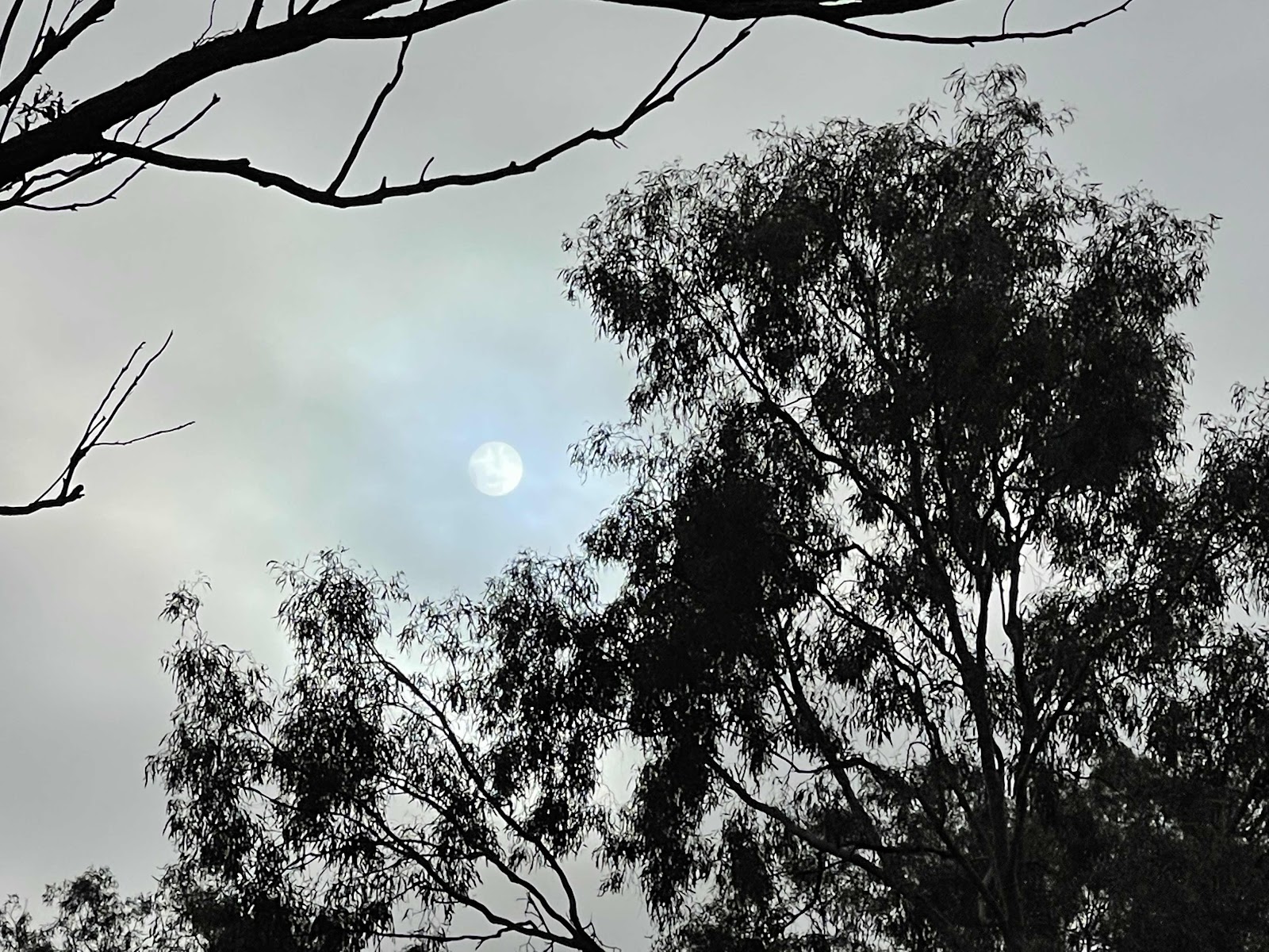
Clear skies sunny day
Drove to Kingaroy so that we were starting at the beginning of the ride. We went via the Burnett Highway for a change of scenery

Drove past the Bjelke Peterson Dam that looked like it had plenty of water in it

Continued on the Burnett Highway to Kingaroy

First thing we see in Kingaroy is the giant silos
Pity they aren’t painted like so many others around

The navigator directed us to O’Neill Square for the start of the rail trail

We could see the old railway station so we knew we were in the right place

Station was all closed, it seems with no evidence of history!!! Or where the trail began

Finally found this sign on a fence around the corner

And this photo

We found some old rail tracks so deduced that this must be the start of the trail, even though there were cars parked across it further along!!!

The navigator directed us to O’Neill Square for the start of the rail trail
We could see the old railway station so we knew we were in the right place
Station was all closed, it seems with no evidence of history!!! Or where the trail began
Finally found this sign on a fence around the corner
And this photo
We found some old rail tracks so deduced that this must be the start of the trail, even though there were cars parked across it further along!!!
We decided, having wanted to start from the beginning of the trail, to cycle from that point

Looking back towards where we started, there was an obvious decision by the authorities not to bother with this section of the old rail line

It was obvious that this was part of the old rail line though, due to the presence of this signal and box

These rail tracks here also show that we were on the right ‘track’

We finally came across the official ‘start’ of the trail
Looking back towards where we started, there was an obvious decision by the authorities not to bother with this section of the old rail line
It was obvious that this was part of the old rail line though, due to the presence of this signal and box
These rail tracks here also show that we were on the right ‘track’
We finally came across the official ‘start’ of the trail
A bit sad that there was not an obvious promotion of the Rail Trail and where it began ☹️

The only sign that we could see that even indicated that this was in fact the Kingaroy station

Soon we were on the paved part of the trail, heading south

A lone llama in a field with goats

A well constructed bridge to cross. Maybe the original block work supporting it

But certainly new structure above, obviously built for the entire rebuilding of the Rail Trail for recreational use.

Cycled past many agricultural pastoral paddocks

Some areas very open and uninteresting with hills to climb

Our first landmark along the way was Crawford where Bill waited for me at the information board

Here Bill took the opportunity to lie down

The track became a little more interesting here although uphill. This photo is taken facing one direction

And this one the other direction

Came across these blossoms on the side of the track. Most likely grown from seeds of fruit being thrown from a passing train window

The trail passed very close to the road here, could see cars and trucks passing by

Road crossing between Crawford and Memerambi

Silos in the distance

Approach to Memerambi

Pleasant bushy section just outside Memerambi

What a shock on reaching this quiet little country town - a brick housing estate!!!

History of Memerambi

We went passed fields if these trees that we have no idea what they are

Finally we reached our destination for the day - Wooroolin, which was our final destination the previous day
The only sign that we could see that even indicated that this was in fact the Kingaroy station
Soon we were on the paved part of the trail, heading south
A lone llama in a field with goats
A well constructed bridge to cross. Maybe the original block work supporting it
But certainly new structure above, obviously built for the entire rebuilding of the Rail Trail for recreational use.
Cycled past many agricultural pastoral paddocks
Some areas very open and uninteresting with hills to climb
Our first landmark along the way was Crawford where Bill waited for me at the information board
Here Bill took the opportunity to lie down
The track became a little more interesting here although uphill. This photo is taken facing one direction
And this one the other direction
Came across these blossoms on the side of the track. Most likely grown from seeds of fruit being thrown from a passing train window
The trail passed very close to the road here, could see cars and trucks passing by
Road crossing between Crawford and Memerambi
Silos in the distance
Approach to Memerambi
Pleasant bushy section just outside Memerambi
What a shock on reaching this quiet little country town - a brick housing estate!!!
History of Memerambi
We went passed fields if these trees that we have no idea what they are
Finally we reached our destination for the day - Wooroolin, which was our final destination the previous day
1 hour 40 minutes in the saddle but then we turned around and cycled back to Kingaroy

The Wooroolin wetlands in the distance

Spotted this rail carriage on our ride back to Kingaroy. Obviously set up for living accommodation

A rail distance sign along the way

Had to stop to take a photo of these two cute Shetland ponies even though it had just started to rain and we were almost back in Kingaroy

The Wooroolin wetlands in the distance
Spotted this rail carriage on our ride back to Kingaroy. Obviously set up for living accommodation
A rail distance sign along the way
Had to stop to take a photo of these two cute Shetland ponies even though it had just started to rain and we were almost back in Kingaroy
My tracking map from AllTrails….

Bill’s tracking map from Giai
Bill’s tracking map from Giai

When we got back to Kingaroy, we bought ourselves a late lunch from The Noodle House but couldn’t see anywhere to sit and eat it, especially as it was raining slightly.
So we headed back out on the road back towards Murgon.
We passed sections of the trail that we had ridden on

When we were on the trail, I had seen this notice and thought that it may be a nice spot to call in on, so we headed out that way to eat our noodles, especially as it was advertising a picnic area.

Top spot, with a shelter to keep us dry

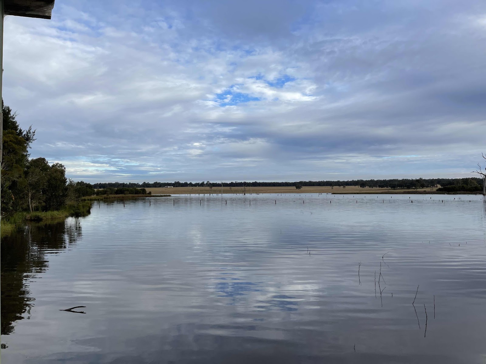
A great view of the lake whilst enjoying our very late lunch

Quite a bit of information about the lake. Turns out that it is the water supply for Kingaroy.


Pretty view across the lake

We walked out to the bird hide

Lots of birds across the other side of the lake, including pelicans, cormorants, galahs, egrets, black swan, corellas…


We attempted to follow a bit of a trail but sadly it ended up being too wet and soggy underfoot

On our drive back, we called in to the Wooroolin Wetlands which was also teeming with bird life but unfortunately the path to the bird hide was completely underwater

Drove back through Tingoora

Past the Tinny Hotel

Through Wondai


Through Murgon

Through Goomeri, past the Grand Hotel where we had dinner the night before

Then back to our camp site.
This map showing the route that we had driven to reach Kingaroy and the route back


Comments
Post a Comment